Overview
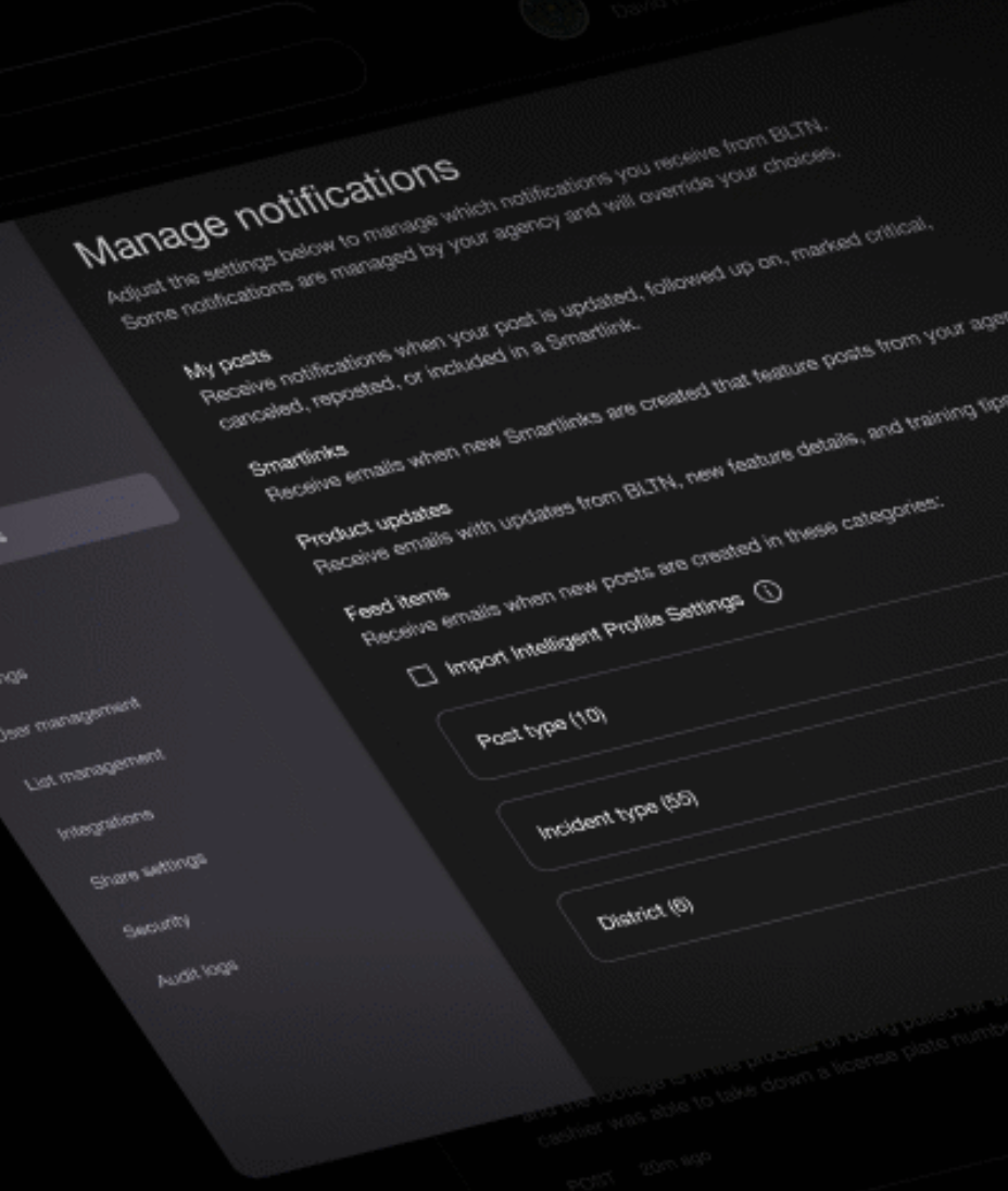
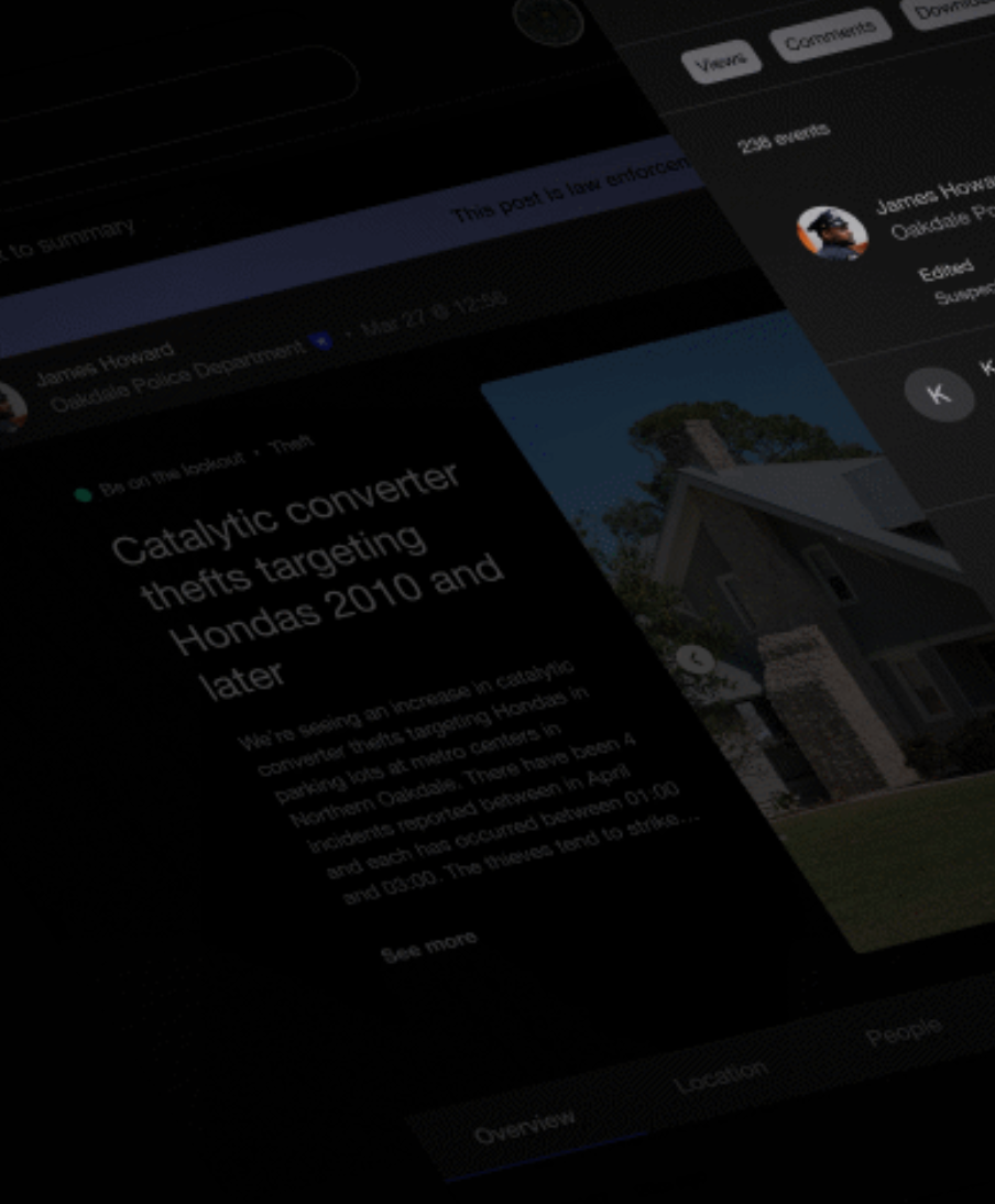
Multitude Insights' technology addresses the problem of fragmented and siloed information within law enforcement, where critical intelligence often gets buried in emails, PDFs, and departmental databases. Their flagship platform, BLTN (Bulletin), is an AI-powered, cloud-based solution designed to help agencies share information and solve crimes faster. The BLTN platform allows officers to create and share bulletin-style notices about criminal activity, missing persons, or suspects. Delivering mission-ready intelligence that strengthens public safety outcomes and supports a smarter, more agile police force.
AI-Powered Search and Analysis
- The platform uses AI and natural language processing (NLP) to read police reports and bulletins, automatically detecting similarities and patterns between cases both within and across different jurisdictions.
Real-Time Collaboration
When connections between cases are identified, BLTN sends proactive alerts to the appropriate officers and agencies, signaling opportunities for collaboration and helping to build stronger cases more quickly.
Secure and Mobile-Enabled
The platform is CJIS-compliant and provides secure data sharing with advanced encryption and privacy controls. It is also mobile-enabled, allowing officers to create and manage bulletins from their devices.
Customizable Feeds
BLTN provides each user with an algorithmically unique feed that shows them the intelligence most relevant to their specific role, such as analyst, detective, or patrol officer.

Multitude Insights Solutions
Veritone Solutions for the Public Sector
Data alone isn’t enough—agencies need clarity, context, and command-ready insight. That’s why MissionRT has partnered with
Multitude Insights, a powerful geospatial analytics platform that turns public safety data into real-time, location-based intelligence.
Visualize Crime Trends in Real Time

- Multitude Insights maps high-crime areas, emerging patterns, and repeat offenders—giving agencies a dynamic understanding of their communities at a glance.
Geospatial Command Intelligence

- Integrated directly into the MissionRT platform, agencies can layer CAD, RMS, and BWC data on interactive maps for richer context and faster strategic decisions.
Data-Driven Resource Deployment

- Patrol shifts, community outreach, and investigative resources can be deployed with confidence—based on real-world need, not just instinct or routine.
Measurable Impact on Public Safety

- Track agency performance, equity impact, and community outcomes over time, enabling transparent reporting to leadership, elected officials, and the public.
Support for Field and Executive Teams

- From real-time field awareness to high-level planning and analytics, this partnership delivers the tools needed for modern public safety leadership.
Ideal Use Cases for Public Sector Agencies

- Crime hotspot identification and predictive patrol planning
- Violent crime reduction initiatives
- Intelligence-led policing and investigations
- Community engagement and resource allocation
- Internal accountability and public transparency
- Interagency collaboration and fusion center operations
Schedule Time with MissionRT Experts
Share Information.
Solve Crimes.
Save Time.
Together,
MissionRT and Multitude Insights empower agencies to move from reactive policing to proactive, precision-based decision-making—fusing maps, metrics, and mission-critical data in one unified ecosystem.
- Visualize and respond to crime trends in real time
- Centralize CAD, RMS, and digital evidence on geospatial dashboards
- Optimize patrol and investigative resources based on real data
- Track outcomes and performance over time
- Strengthen decision-making from the street to the command center
- Promote data transparency, accountability, and public trust
Schedule Time with MissionRT Experts
We will get back to you as soon as possible.
Please try again later.